Almo-GIS
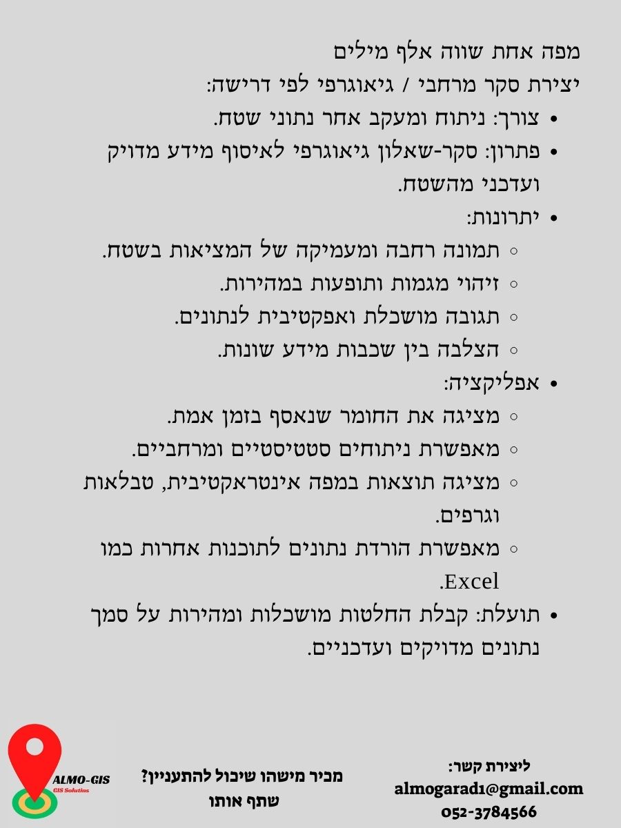
GIS insights & Solutions מפה אחת שווה אלף מילים
Arad sandalwood
Almog Arad
Hello, my name is Almog, and I am married and the father of six lovely children! I have been a tour guide and guide for over 20 years, but my true desire is to take knowledge from the field one step further—through drone photography, mapping, and advanced GIS solutions. With a Master’s degree (MA) in Geography with a specialization in GIS and remote sensing, I combine technological knowledge and field experience to provide accurate mapping services and high-quality aerial photography. The geographic information systems (GIS) that I operate enable in-depth analysis and efficient planning, thus providing a perfect solution for diverse needs in the field of planning, management, and in-depth knowledge of the environment. I would be happy to help you get a broader and clearer picture of the area and get the most out of it, with the help of drone photography, interactive maps, and advanced geographic analysis.
Almog Arad
סיפורים על המפה – סדרת מוצרים אינטראקטיביים שמחברים בין מקום, זמן וחוויה.

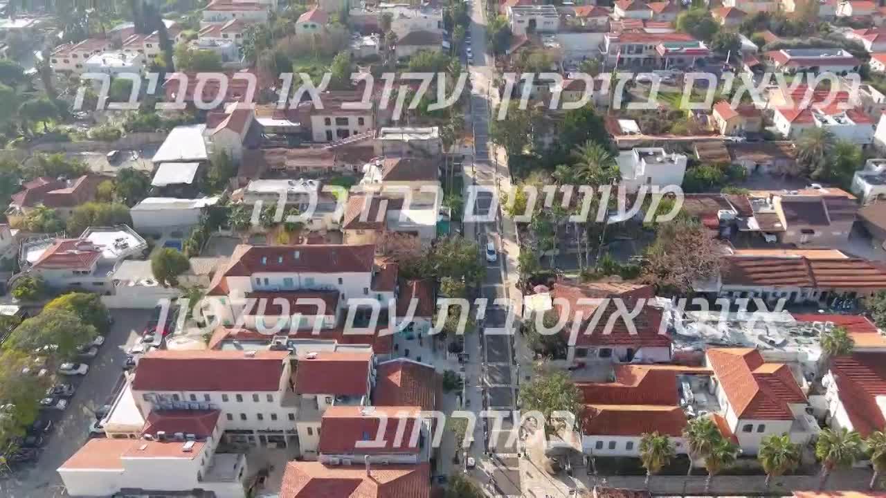
Interactive travel plan (before and during a trip)
A luxurious and impressive display to plan, present and accompany a trip. Turn every trip into a well-planned experience that looks great:
Learn More
Interactive travel diary in a luxurious display
Experiences last – and they look great. Keep your travel moments vivid, colorful, and exciting:
Learn More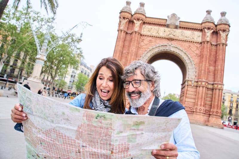
Interactive site map
The most engaging way to present a place - with one click - no more maps needed. Integrate a live and dynamic map into your website that will guide visitors between points of interest:
Learn More
A digital life journey on a map - site under development
Because every life story deserves to be told – in an exciting way, create a digital journey that documents the most important moments in life:
Learn Moreabout
הנגשת מיפוי אינטראקטיבי לכולםAlmo-GIS נולדה מתוך חזון לאפשר לכל אחד ליהנות מיתרונות המיפוי המתקדם. בעזרת הטכנולוגיה והיכולות הגבוהות שלנו, אנחנו מציעים פתרונות GIS ומיפוי ברמה הגבוהה ביותר – ובמחירים נגישים.
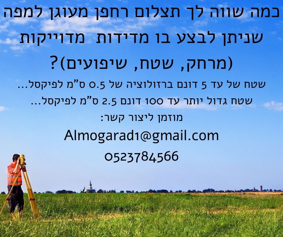
מה אנחנו מציעים?
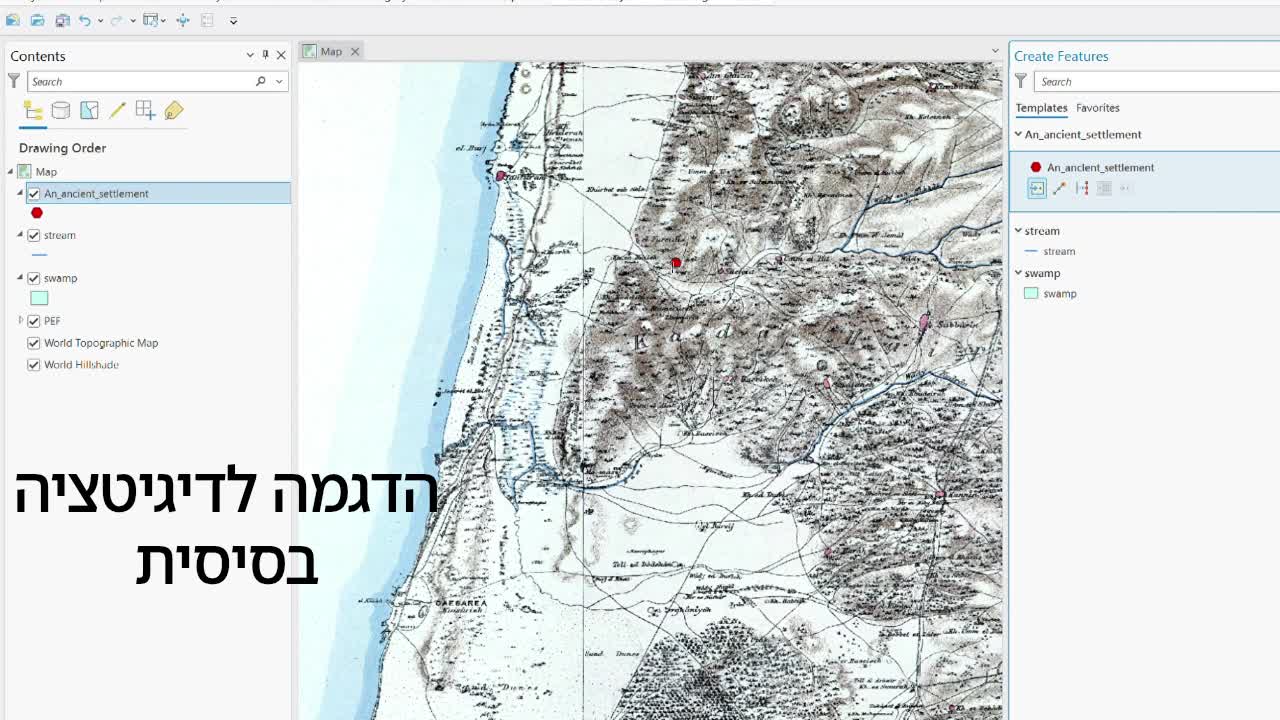
- הקמת מערכות GIS (מערכות מידע גיאוגרפי) מתקדמות, עם שכבות מידע מותאמות אישית.
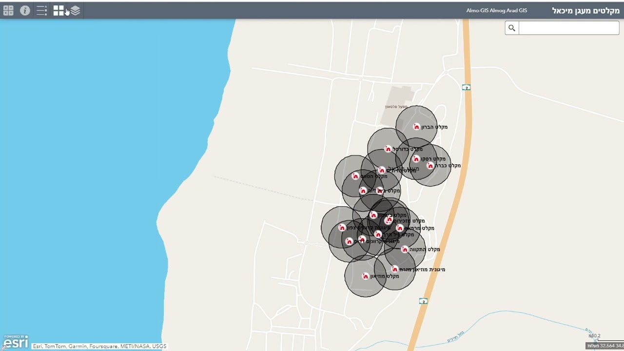
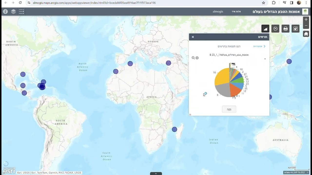
- מפות אינטראקטיביות המשולבות בניתוחים גיאוגרפיים מדויקים.
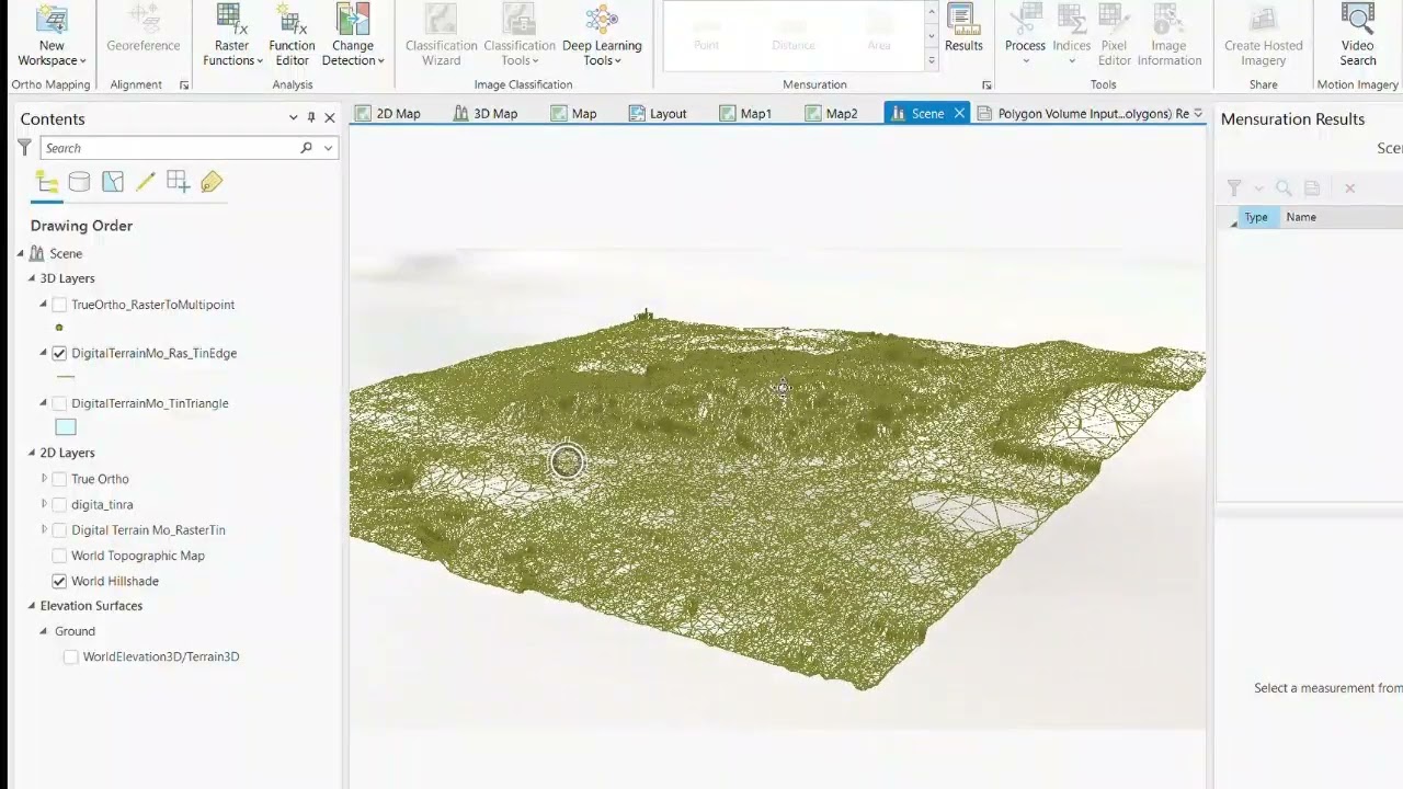
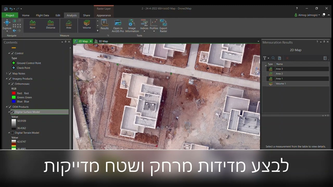
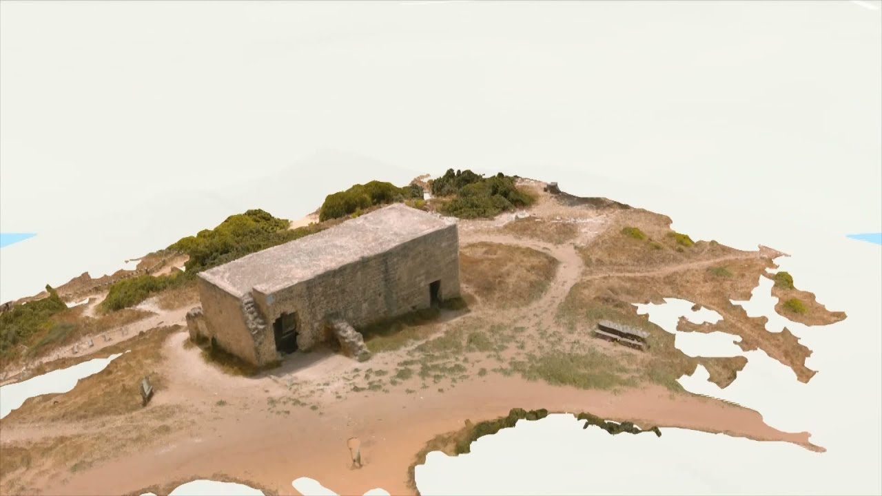
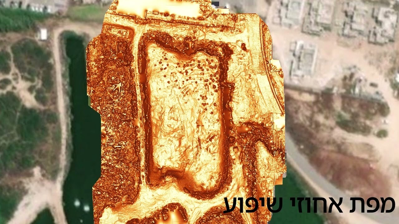
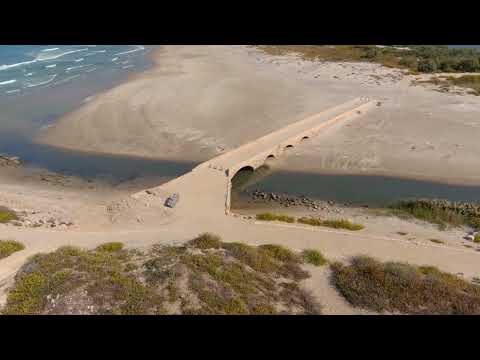
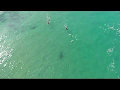
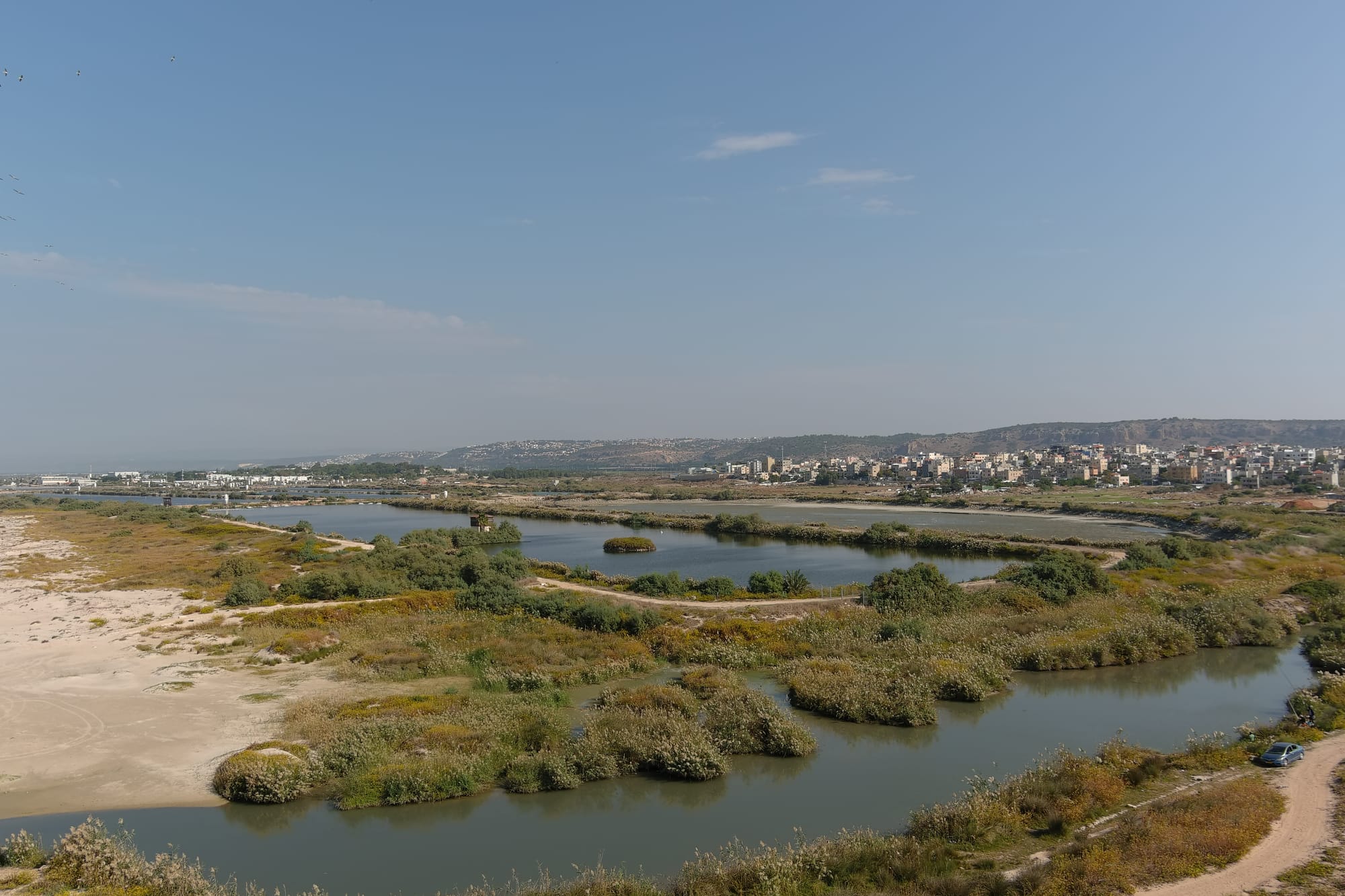
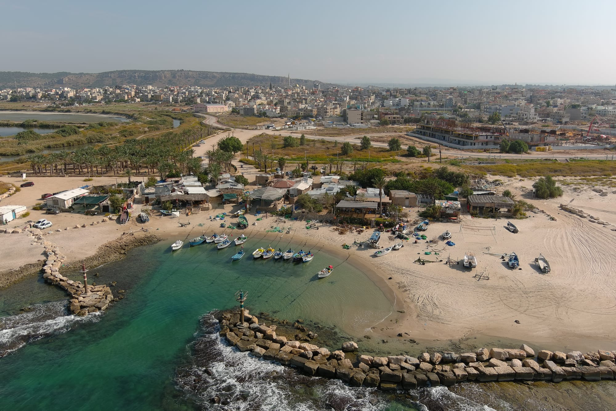
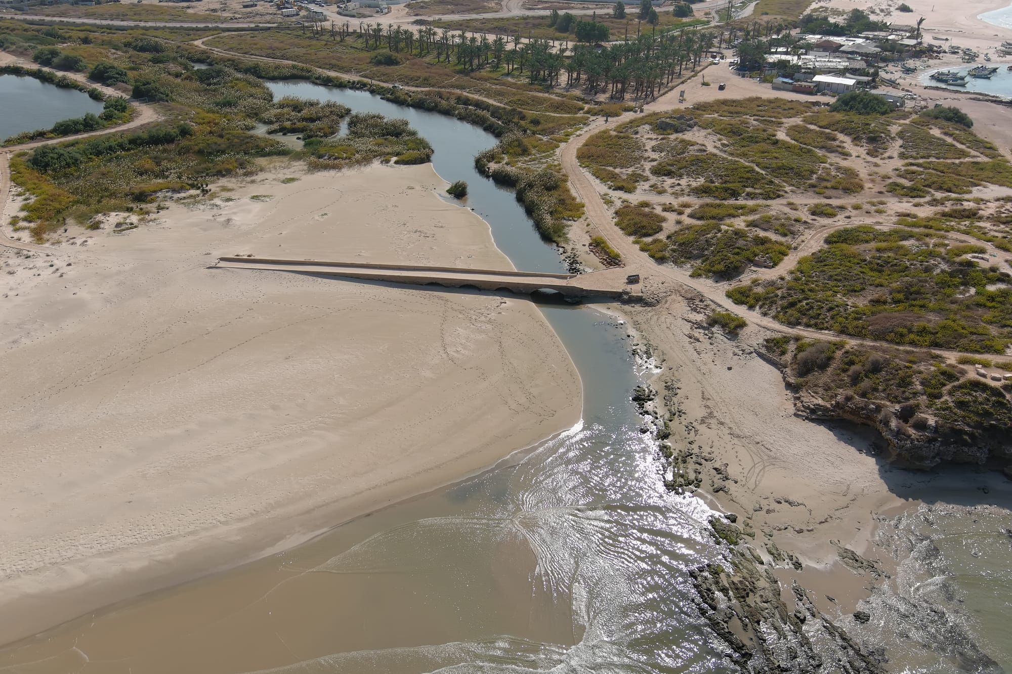
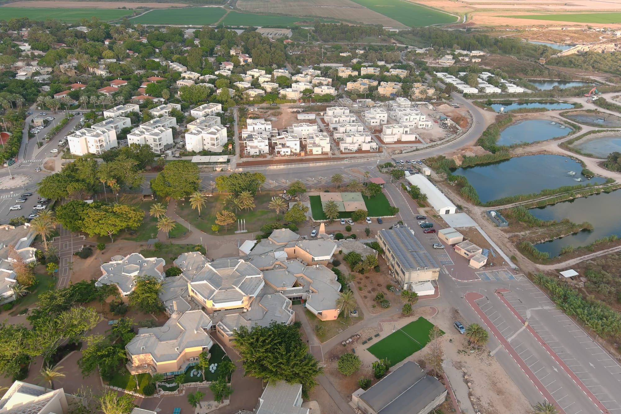
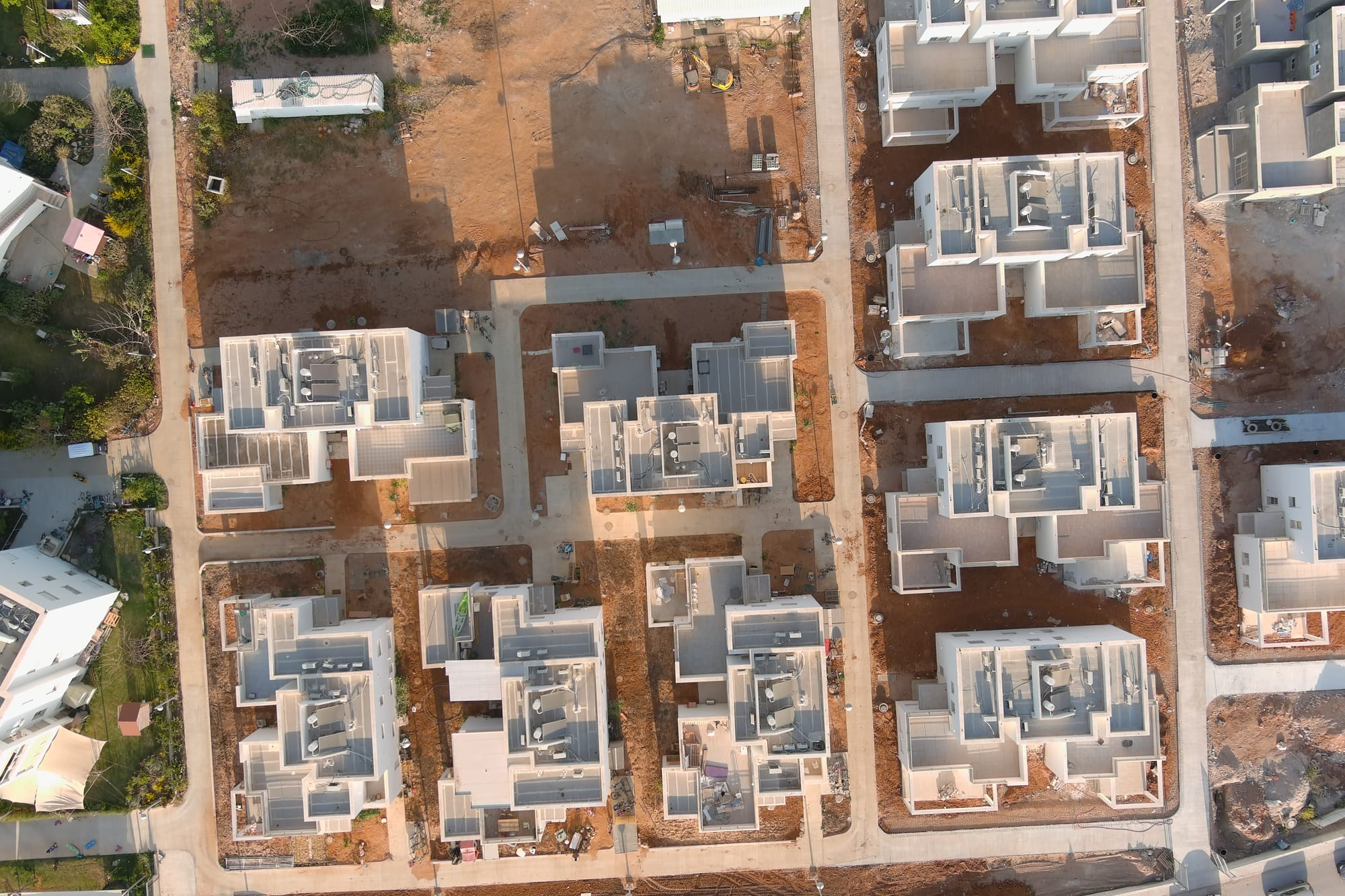
- צילומי רחפן מתקדמים יצירת אורטופוט- תמונת מפה, תלת מיימד, חישובי נפח מתצלום ועוד.
- אפליקציות ייעודיות המאגדות את כל הנתונים והניתוחים במפת שכבות חכמה.
- סקרים מרחביים יצירת סקר לאיסוף מידע מהשטח ישר למחשב ולניתוחים הדרושים.
מי שלא יתקדם – יישאר מאחורהקמת מערכת GIS איכותית היא תהליך מורכב, הכולל איסוף, ארגון ושילוב של נתונים מרחביים לצד מאגרי מידע טבלאיים, לצורך ניהול, ניתוח והצגה חכמה של השטח. לכן כדאי לבחור באנשי מקצוע עם ראייה מרחבית וניסיון עשיר ב-GIS – בדיוק מה שתמצאו אצלנו ב-Almo-GIS. אנחנו כאן כדי לאפשר לכם לראות את התמונה הגדולה, להתקדם, ולהפיק את המרב מהטכנולוגיה המובילה בתחום.
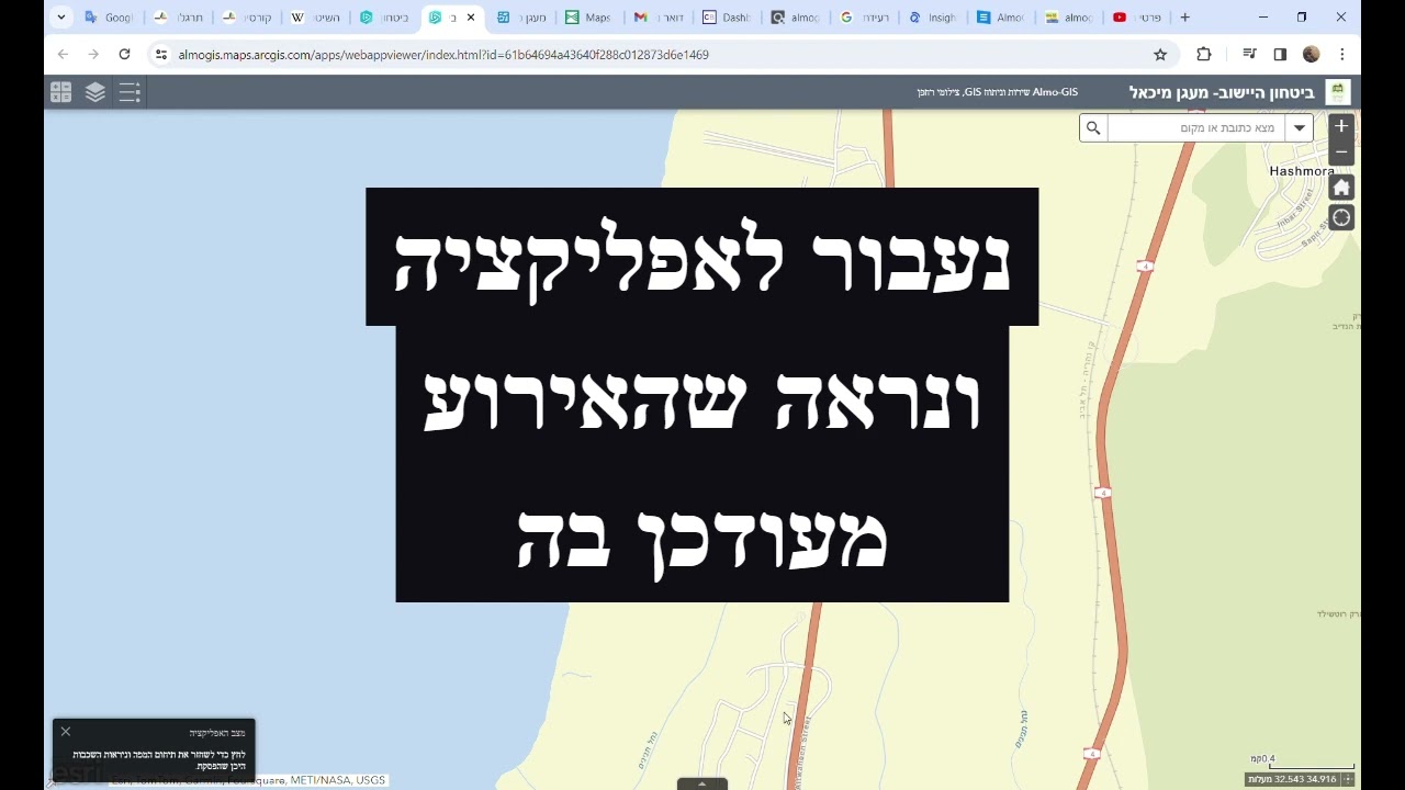
The GIS system
contact
- Maagan Michael, Haifa, Israel
For a free consultation and to receive a price quote, leave your details or call, you can also use the private email: almogarad1@gmail.com