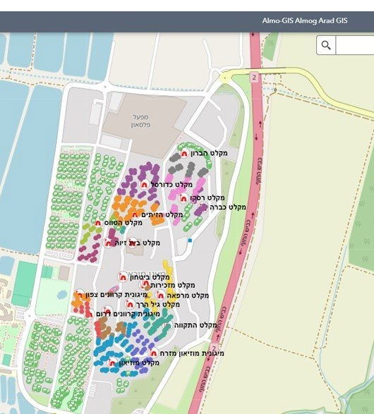
Emergency GIS system
Do we have information on the number of people expected to arrive at the shelter? And how far does each resident have to travel to reach the shelter? Additionally, in the event of an incident, do we have an interactive incident log that provides an exact location for all relevant parties?
We propose the creation of a basic interactive GIS system that allows analyzing and identifying the dispersion of the settlement's people in the shelters when necessary, marking guard posts, marking gates and creating an event log (burglary, theft, fire, medical, suspicious object, accident and more according to request and need).